Trace the shared sightseeing route from Fernandina Harbor toward Cumberland Island, with history, coastal scenery, and wildlife possibilities along the way.
We’re planning another way to explore. The new route and booking details will be shared here when they’re ready.
Tap a numbered checkpoint to explore. Routes and stops vary with conditions. Wildlife sightings and shore access are not guaranteed. Dungeness is an inland landmark. Illustrated overview; not for navigation.
01 / FOLLOW THE WATER
Start at Fernandina Harbor
Our Amelia Island jet ski tours depart from 3 S Front Street, F-Dock, in downtown Fernandina Beach. Your guide covers the equipment and the day’s operating area before you leave the marina.
02 / FOLLOW THE WATER
Explore the Amelia and Cumberland waterways
The shared map follows the tour overview already used by our team. It heads through the island waterways toward Cumberland Sound and the Florida–Georgia line. The route is a sightseeing preview, not a navigation chart or a promise that every departure follows the same track.
HISTORY AROUND THE BEND
Fort Clinch and Olde Town
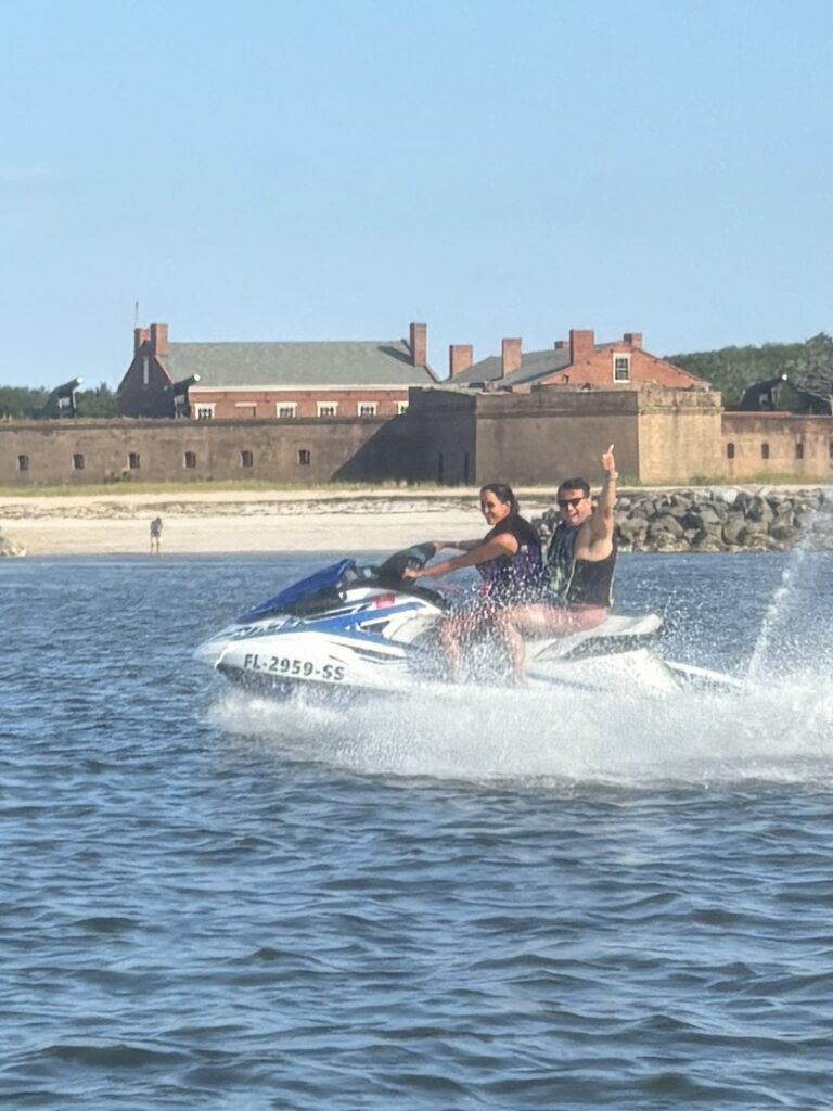
Fort Clinch gives the northern Amelia shoreline a striking historic landmark. The map also marks the Olde Town waterfront, another part of the Fernandina landscape you can learn about while exploring the area.
CUMBERLAND’S WILD SIDE
Cumberland Island and Dungeness
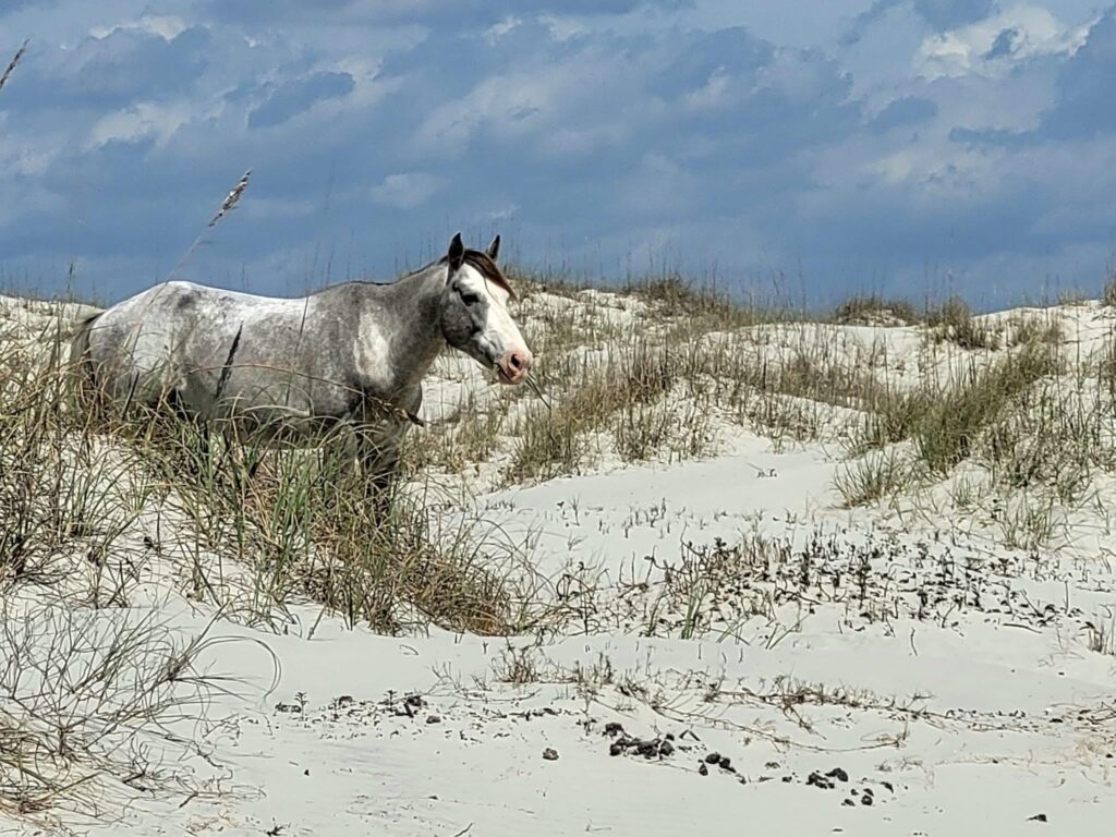
Cumberland brings a different coastal setting, including shoreline habitats where wild horses may be visible. Dungeness Ruins is an inland landmark included on the original sightseeing map. Its map marker is a point of interest; it does not mean that a jet ski goes onto land or that entry to the ruins is included.
Your guide confirms what the day’s tour includes, the operating boundaries, and whether any shore stop is available. Conditions, access rules and wildlife activity can change the itinerary. Keep a respectful distance from horses and other wildlife.
BEFORE YOU CHOOSE YOUR DEPARTURE
Which booking matches this map?
Explore the two-hour eco tour for the longer island adventure. The one-hour ride is a shorter experience and does not cover the full route shown here. Neither tour guarantees a specific wildlife sighting or a shore stop.
We are planning another way to explore. The new route, duration and booking details will be posted when they are ready. For now, use the current booking calendar to see available tours.
ONE ISLAND DAY. A WHOLE LOT OF STORIES.
THERE’S A WHOLE ISLAND STORY OUT THERE.
Choose your tour. Bring your favorite person. We’ll meet you at F-Dock.
We use cookies to ensure that we give you the best experience on our website. If you continue to use this site we will assume that you are happy with it.
By continuing to use this website, you consent to the use of cookies in accordance with our Cookie Policy.